The Routeburn Track is one of the Great Walks in New Zealand, maintained by the Department of Conservation. I did this on a three day hike in March of 2026.
Like other Great Tracks, you need to be staying at a campsite or in a cabin. You can't camp within 500m of the trail, which really restricts the camping choices. As such your pace on the trail is determined by the spacing of the campsites.
I chose to do it in two nights, starting at the Glenorchy end and ending up at the divide end. This had the downside of meaning a really short first day of under 8km 👇, but had the upside of camping the first night at beautiful campsite in the valley.
Coming through Glenorchy we stopped at the filming location for Isengard and faced probably one of the strongest winds ever. It was intense, hard to stand straight and see kind of wind as it howls down the valley. The strength of this wind had me seriously questioning if this hike was doable.
Day 1: Near Glenorchy 👉 Routeburn Flats
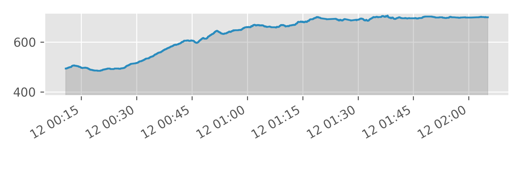
Day one was very easy going and I headed off after lunch. The path follows the stream up through the woods and through the valley. Beautiful lush New Zealand forest with birds. The path is easy and you soon end up at the first ranger hut. Like most campsites, it's well sheltered down in the valley. Surrounded by steep treed cliffs and waterfalls, its an amazing spot.
The ranger huts is one of the wonderful things about the Great Trails and it was good to chat to the ranger about the wildlife. She suggested to every camper that if the wind gets really bad (above 90km/h) that we can come sleep in the hut around the fire if needed. So good to have that extra help and support if needed. It rained at night, but wasn't that windy.
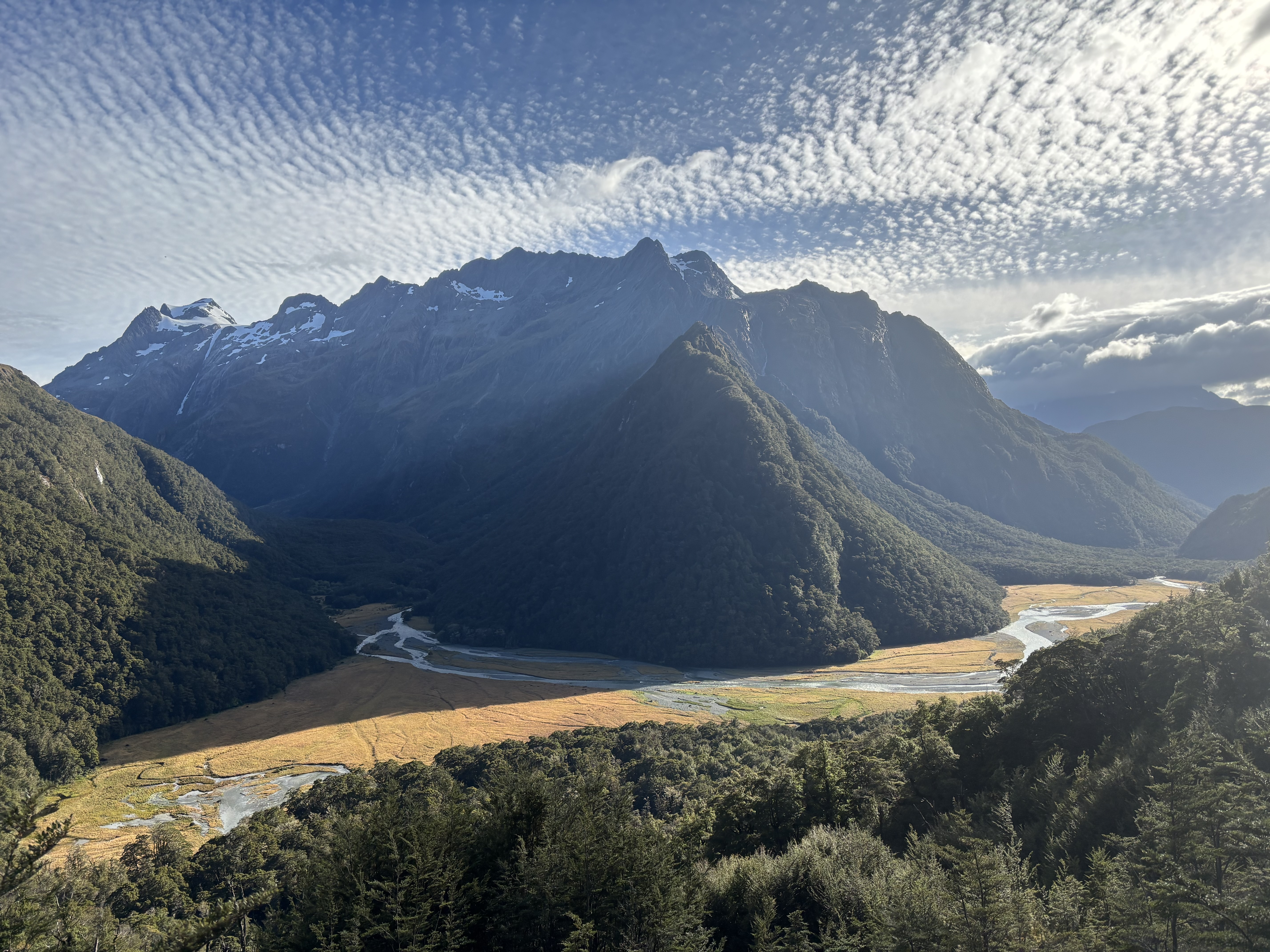
The photograph 👆 is from the next day, looking back down the valley. At the bottom of the hill, tucked away is the campsite.
Day 2: Routeburn Flats 👉 Lake Mackenzie
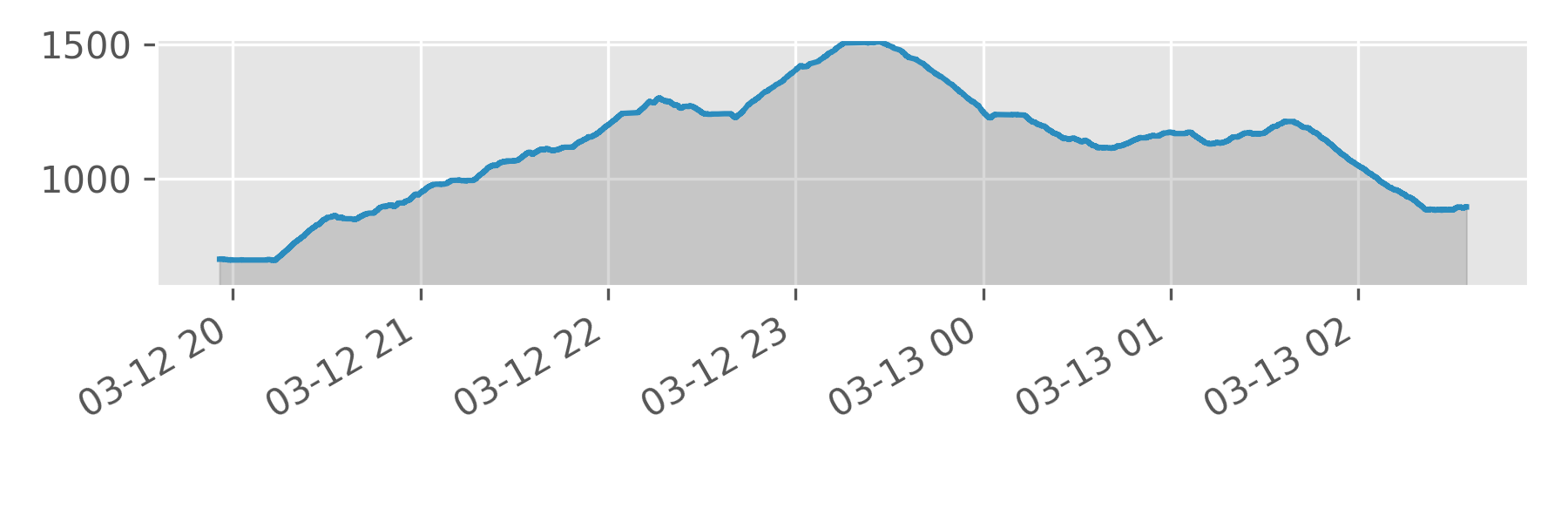
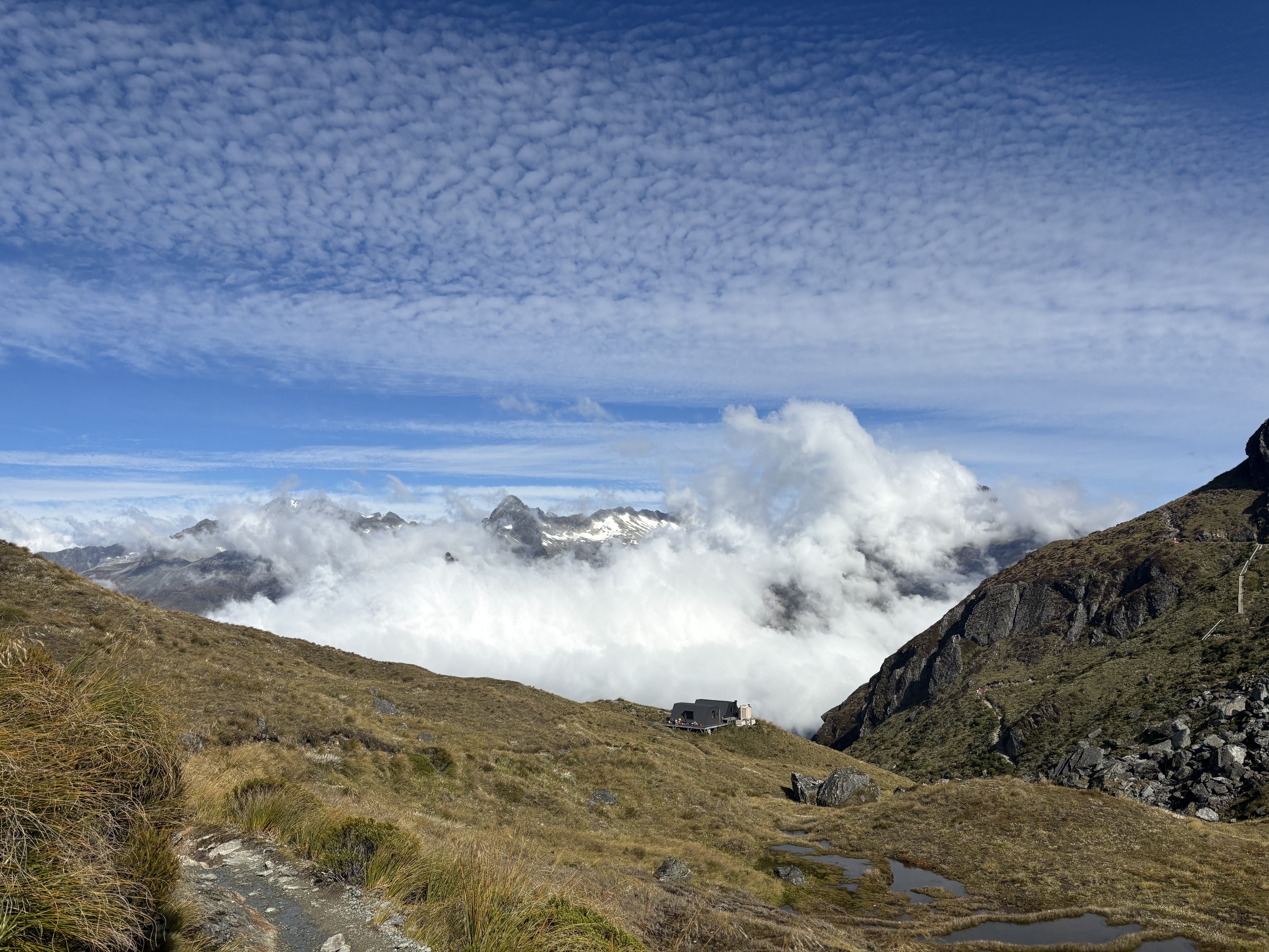
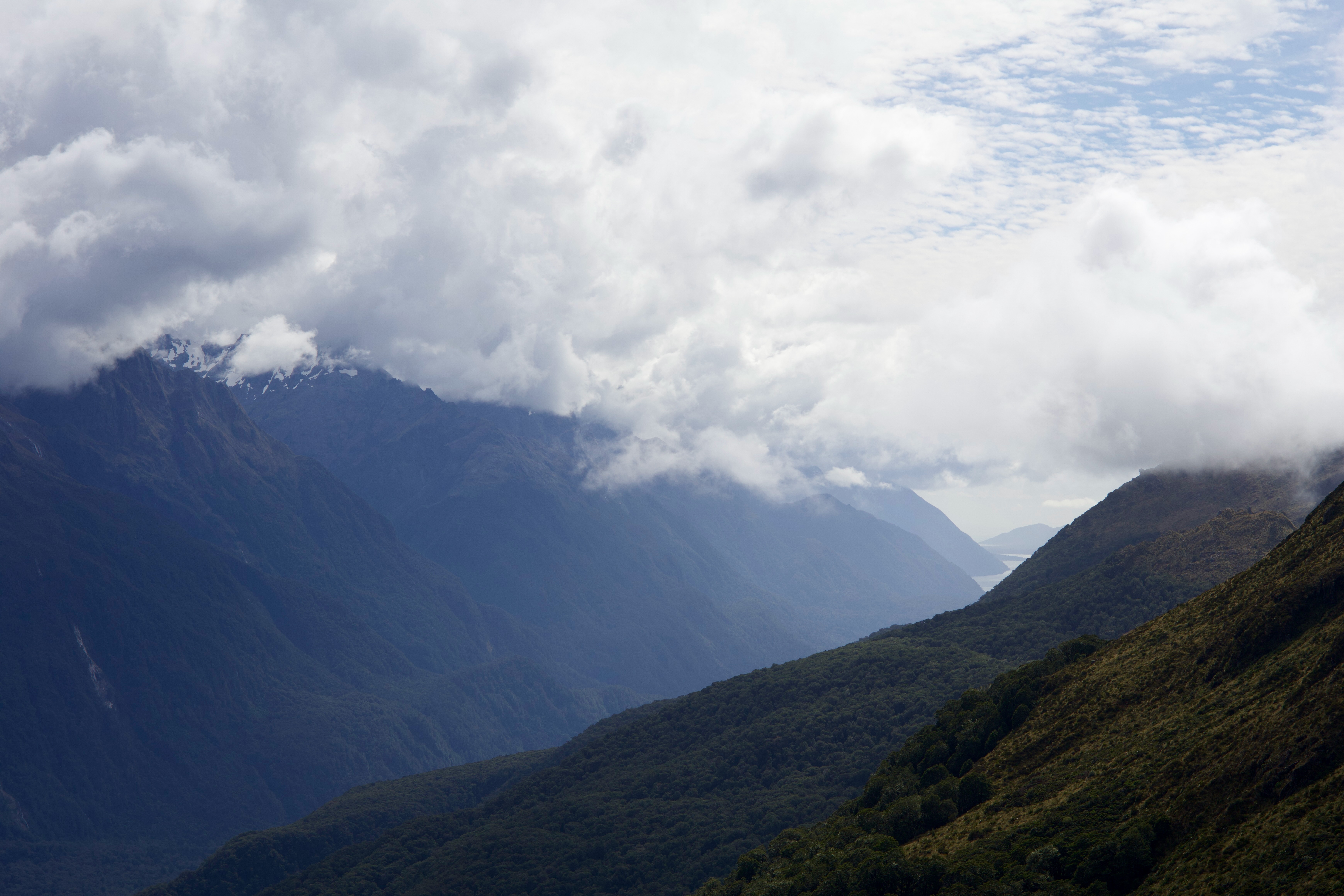
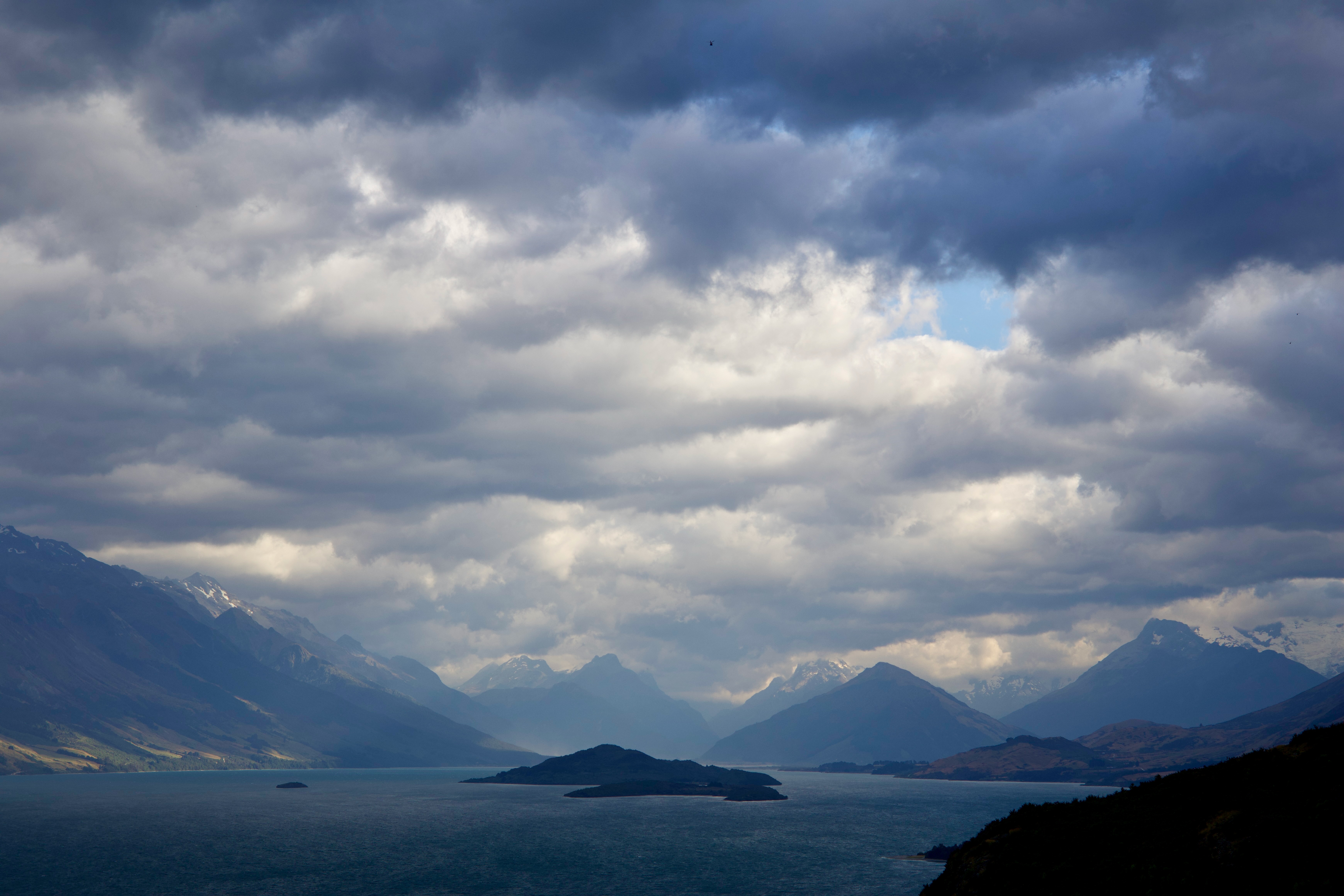
The next day was longer as the path takes up over the mountain range that seperates the two valleys. It starts off with an up hill, travelling alongside the waterfall and up towards the lakes at the summit. The forest thins out and you are treated with beautiful views of mountains of lakes. Particularly stunning is the view just past the lake as you crest the mountain range, at Harris Saddle, and see the mountains and clouds on the other side of the next valley.
There is a side quest up to Conical Hill from the Harris Saddle Hut. This is a quite steep path, many dump their bags at the Hut (inside to avoid wildlife getting to them) and then hike up. However, always remember to take your safety gear with you. Unfortunately for me, most of view was of clouds and the odd bit of mountain poking out from them. The views weren't great and it wasn't worth the effort really.
After the Saddle its along the ridge up the valley towards Lake Mackenzie. At this point there's amamzing views back down the valley, almost to the sea. Maybe. I thought it was the sea in the distance anyway. It's a steep descent into Lake Mackenzie and the last km or two you enter the lucious forest again. This side of the mountain range its a lot wetter and the forest reflects that.
Slightly annoyingly the campsite is 1.5km away from the huts, which at the time annoyed me when I got there, because I was tired. Turns out it means you get isolated from the people at the huts and instead have a very credibly quiet time by the lake, since there's only space for about 5 tents.
Day 3: Lake Mackenzie 👉 The Divide
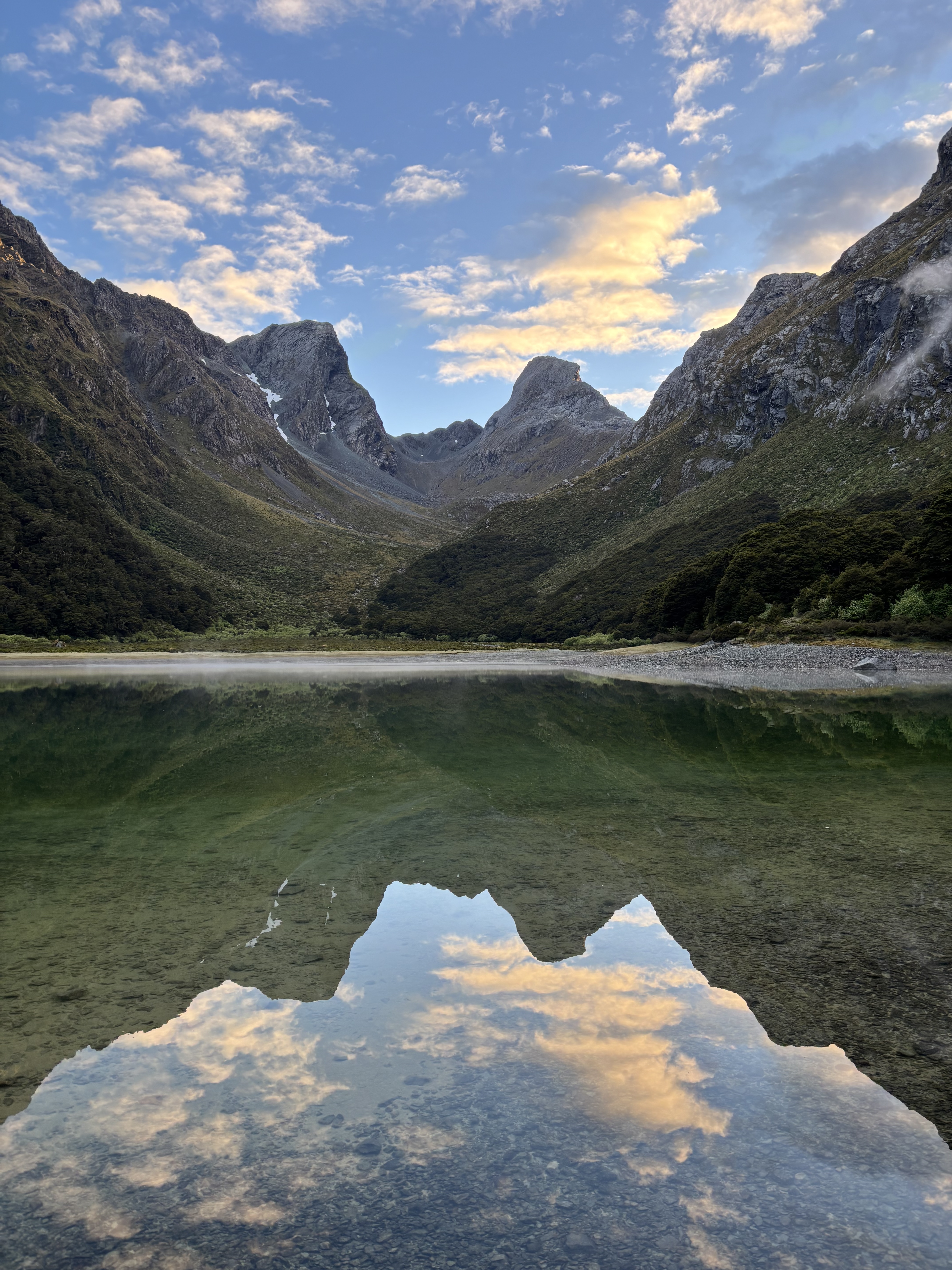
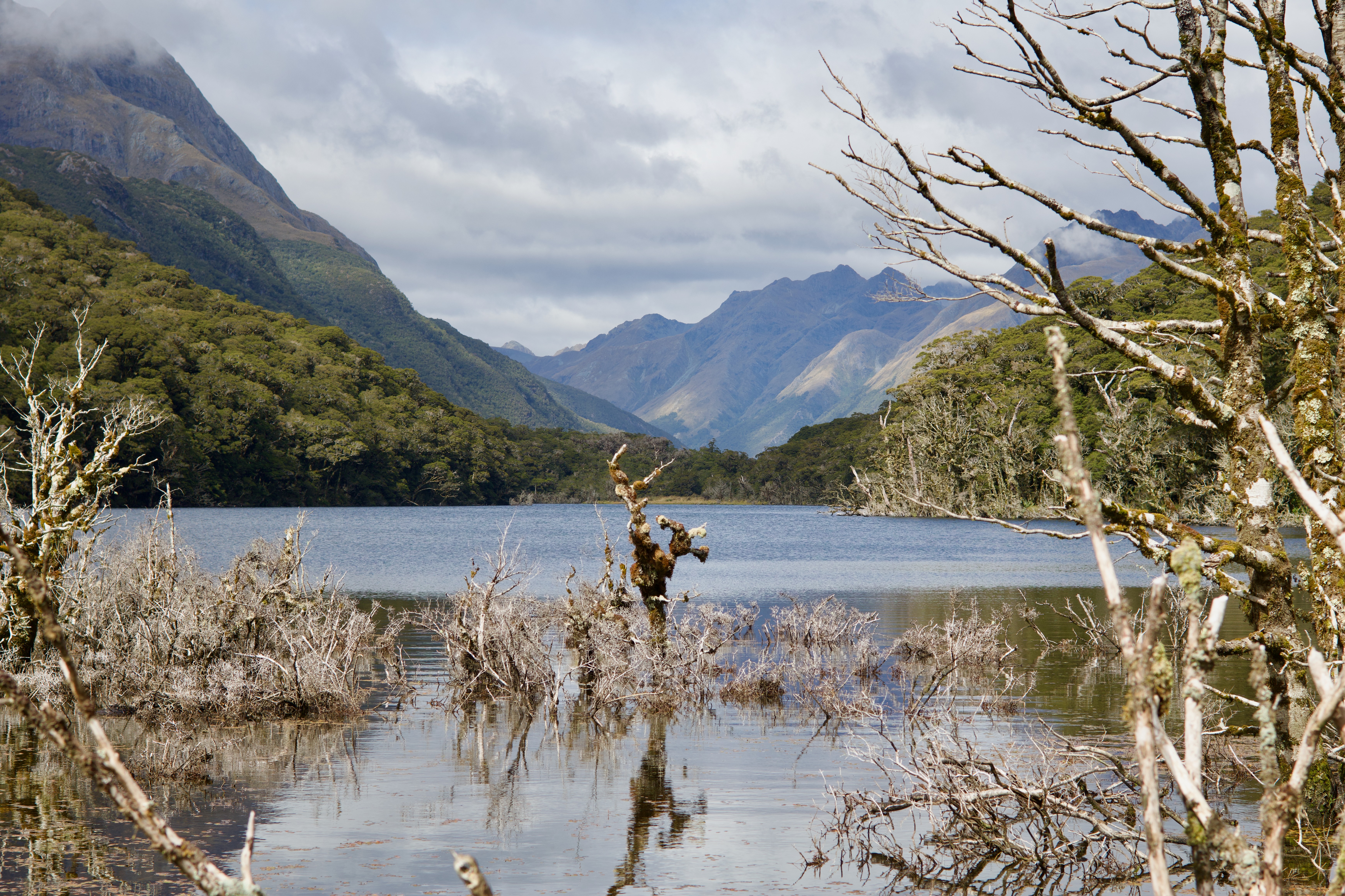
In the morning I woke up to a beautifully still and quiet lake. Unfortunately there were a couple of campers by the lake, who were ignoring the rules and probably doing the hike without the reservations. The ranger went to chase them down later on though.
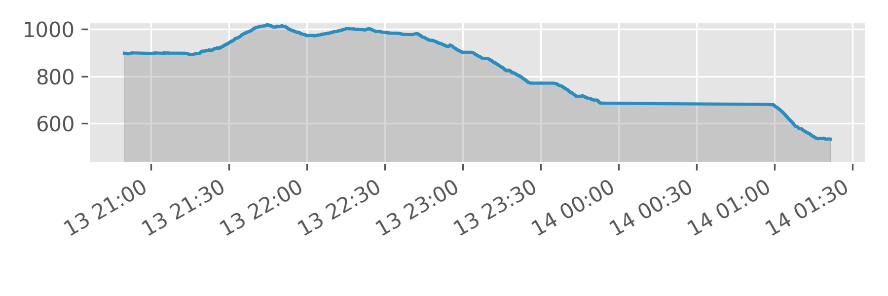
The last day goes along the side of the mountain, again with gorgeous views and a waterfall or two coming down to the path. It soon heads down towards a lake and the trail starts to get real busy. Day hikers who've stopped at the divide hike in here and so you can expect to find a lot of people on the trails. The lake side was lovely and nice place to have some lunch though.
The hike out to the divide is pretty straightforward, although I did get derailed by a Waka, who just wanted to hang out. A few other birds, including Kea sightings made this more interesting. At the divide I had to wait an hour or two to get a bus down to Te Anau where I'd have a rest, restock and head out on the next trail.
Note: I stopped and forgot to start my watch after lunch, so there's about 2km missing from the GPX data on this hike.
Summary
A lovely trail, featuring forest, mountain passes, lakes and all the usual New Zealand wonders. As a Great Track its in amazing shape and the trail is very well maintained. At Routeburn Flat there are even flush toilets. Because it's so short it attracts day hikers from either end and people running it too. One group were "having to hustle to catch their helicopter 🙄".
Because the Divide is on the road to Milford Sound, I think a lot of people stop and day hike from there on their way to the Sound. This detracted from the overall fun for me a bit, I like my hikes to have people on them - just not too many.
I'm glad I did this hike, but I wouldn't do it again unless a friend wanted to do so or the weather meant the views from Harris Saddle were clear and spectacular.